
An ongoing effort to translate and standardize the country’s zoning codes into a single online resource.
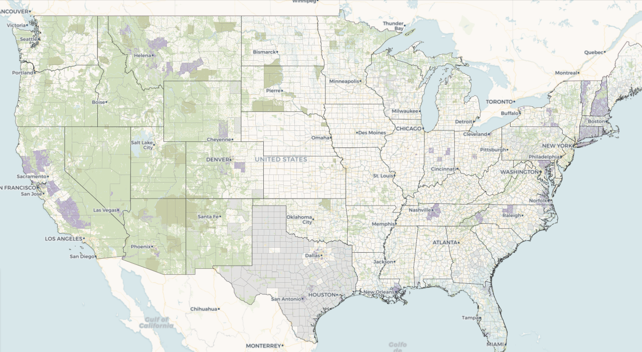
Zoning laws, adopted by perhaps 30,000 local governments across the country, dictate much of what can be built in the United States. The National Zoning Atlas is helping us better understand these sometimes-opaque but incredibly influential laws by depicting their key attributes in an online, user-friendly map. It was launched out of the Legal Constructs Lab, but is expanding now through an independent nonprofit.
The National Zoning Atlas encompasses several disciplines. It is a legal research project, as it delves deeply into the regulatory frameworks that dictate so much of the way we use our land. It is a data science project, and it deploys novel systems of collecting, analyzing, and displaying geospatial and regulatory data. It is a digital humanities project, innovative in its methodology and having the potential to unlock new research on the central instrument that shapes our urban built environment, social relations and hierarchies, and geographies of opportunity. It is a social science project that will improve our understanding of our politics, society, and economy - and expand our collective ability to reimagine future, alternative, and reparative trajectories. And it is a computer science project, deploying machine learning and natural language processing to expand our understanding of how algorithms can read complex regulatory texts.
The National Zoning Atlas will help people better understand zoning, which would in turn broaden participation in land use decisions, identify opportunities for zoning reform, and narrow a wide information gap that currently favors land speculators, institutional investors, and homeowners over socioeconomically disadvantaged groups. It would also enable comparisons across jurisdictions, illuminate regional and statewide trends, and strengthen national planning for housing production, transportation infrastructure, and climate response.