← Back to Projects
Urban Morphology and Sustainable Outcomes in sub-Saharan Africa

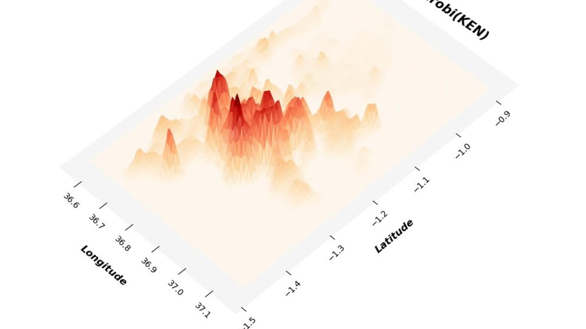
Kernal density map of Nairobi, Kenya.
Rapid urbanization has made African cities very susceptible to potential climate change impacts. Nevertheless, granular analyses of African urban spatial structure remain rare, and the relationship between the spatial structure of African cities and sustainability indicators, such as the urban heat island effect is even more so. Our goal is twofold. First, to develop the first high-resolution spatial maps of urban morphology - the physical form and spatial arrangement of human settlement patterns - for all urban areas with over 10,000 population in Kenya, Tanzania, Togo, and Ghana (this is where we have collaborating partners). Second, we will leverage the resulting estimates to examine the relationship between urban spatial patterns and a range of environmental covariates, including urban heat, carbon emissions, and energy consumption, among others. To identify these critical spatial intersections, we will utilize newly available high-resolution geospatial datasets including the Google AI Africa Open Buildings dataset.
Funding through the Center for Cities and the Cornell Center for Social Sciences.


